
ମୁଖ୍ୟ ତଥ୍ୟ
- ମୁଖ୍ୟାଳୟ
- ବଲାଙ୍ଗୀର
- ରାଜସ୍ୱ ବିଭାଗ
- ଉତ୍ତରାଞ୍ଚଳ
- ଗଠନ
- ୧ ନଭେମ୍ବର ୧୯୪୯ (୧ ଏପ୍ରିଲ ୧୯୯୩ରେ ସୋନପୁର ଅଲଗା ହେଲା)
- ଆୟତନ
- ୬,୫୭୫ ବର୍ଗ କି.ମି.
- ଜନସଂଖ୍ୟା (୨୦୧୧)
- ୧୬,୪୮,୯୯୭
- ସାକ୍ଷରତା
- ୬୫.୫%
- ଲିଙ୍ଗ ଅନୁପାତ
- ୯୮୭ ପ୍ରତି ୧୦୦୦ ପୁରୁଷରେ
- ଉପଖଣ୍ଡ
- ୩
- ବ୍ଲକ
- ୧୪
- ତହସିଲ
- ୧୪
ପଡ଼ୋଶୀ ଜିଲ୍ଲା
ମାନଚିତ୍ର: DataMeet, ଜନଗଣନା ୨୦୧୧ ଜିଲ୍ଲା (CC BY 2.5 IN)
ଭୂଗୋଳ
ଏହି ବିଭାଗ ଏପର୍ଯ୍ୟନ୍ତ ଓଡ଼ିଆରେ ଉପଲବ୍ଧ ନାହିଁ, ତେଣୁ ଇଂରାଜୀରେ ଦେଖାଯାଉଛି।
Balangir lies in western Odisha. Bargarh is to its north, Kalahandi to the south, Subarnapur and Boudh to the east, and Nuapada to the west.
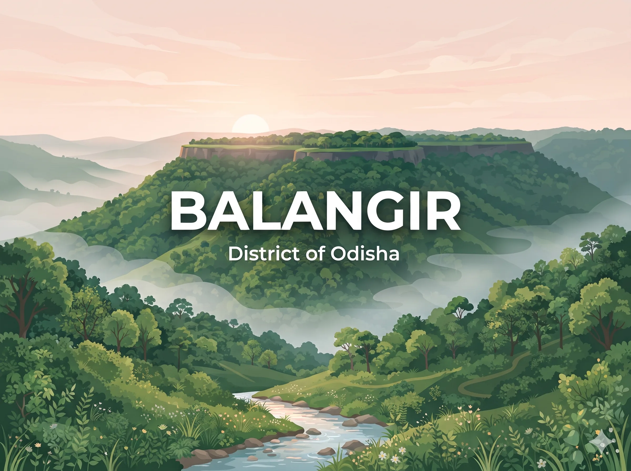
The Gandhamardan range runs along the north-west. Its top is a plateau about 16 km long, at roughly 3,296 ft, and the range is shared with Bargarh district. The other hills are lower: Butel (2,670 ft), Chahdli (2,630 ft) and Thuta (2,056 ft).
Most of the district lies on the north-west bank of the Tel, which forms its boundary with Kalahandi, Subarnapur, Boudh and Kandhamal. The Undar, Lanth, Sungadh and Sukhtel flow into the Tel. The Ang, Jira and Saleshing are smaller streams. The north-east side is a rocky stretch of the Mahanadi valley.
The thickest forest is along the western border with Nuapada and Kalahandi, and it turns east along the Gandhamardan. Sal, Sahaj, Piasal, Dhaura and ebony are the main timber trees, and good bamboo grows here. Bison and sambar live in these woods.
Climate
Summers in Balangir town are hot. The mean daily maximum in May is about 41.7 °C, and 49.0 °C has been recorded in April. Annual rainfall averages 1,457 mm, and most of it falls in July and August. (IMD data for Balangir town, 1991–2020.)
ଇତିହାସ
ଏହି ବିଭାଗ ଏପର୍ଯ୍ୟନ୍ତ ଓଡ଼ିଆରେ ଉପଲବ୍ଧ ନାହିଁ, ତେଣୁ ଇଂରାଜୀରେ ଦେଖାଯାଉଛି।
The district is named after its headquarters town. Balaram Deo, a Chauhan king of Patna, founded a town called Balramgarh in the early 16th century and moved his capital there from Patnagarh. The town later became Balangir.
Older traces go back much further. The grammarian Panini (5th century BC) mentions the Taitila janapada, west of Kalinga, which historians link with Titlagarh. The Satavahana king Gautamiputra Satakarni is said to have built a vihara for the philosopher Nagarjuna at Parimalagiri, identified with Gandhamardan. In the 7th century the Chinese traveller Xuanzang visited a monastery at Paikmal, near the hills. Somavamsi kings later built many temples at Ranipur-Jharial.
Ramai Deo founded the Patna kingdom in 1360, and it grew into the head of a group of eighteen garhs. Patna and Sonepur merged with Odisha on 1 January 1948, and together they formed Balangir district. Sonepur became a separate district on 1 April 1993. Rajendra Narayan Singh Deo, the last ruler of Patna, entered politics and was Chief Minister of Odisha from 1967 to 1971.
An English school opened in Balangir town in 1894, started by Maharaja Ramachandra.
ଜାଣିବା ଯୋଗ୍ୟ ସ୍ଥାନ
ଏହି ବିଭାଗ ଏପର୍ଯ୍ୟନ୍ତ ଓଡ଼ିଆରେ ଉପଲବ୍ଧ ନାହିଁ, ତେଣୁ ଇଂରାଜୀରେ ଦେଖାଯାଉଛି।
Harishankar: a temple on the slopes of Gandhamardan, linked with both Vishnu and Shiva, beside a stream that runs over a granite bed. The deity was found in the 14th century by a Chauhan king, and the temple was built on the order of Queen Durlabha Devi. The nearest railway station is Harishankar Road, 32 km away.
Nrusinghanath: a temple on the opposite side of the Gandhamardan hills. Ancient Buddhist ruins on the plateau between the two temples are thought to be remains of the old Parimalgiri university.
Ranipur-Jharial: near Kantabanji, with temples from the Somavamsi period. Its 64 Yogini temple has no roof and holds a three-faced Nataraja Shiva at the centre, ringed by Yogini images. Only 48 of the images survive. The largest stone temple here is Someswar Siva.
Titlagarh and Belkhandi: Titlagarh is the old Taitila. Belkhandi, near it, is one of the two places where Shiva devotees walk on Shravana Purnima to offer water.
Gandhamardan hills: known for medicinal plants. The Botanical Survey of India has recorded 220 medicinal species here.
Others: the district website also lists Papakshya Ghat, Nabagraha Kunda, Turekela and Jogisarada as visiting places.
ସଂସ୍କୃତି ଓ ଲୋକ
ଏହି ବିଭାଗ ଏପର୍ଯ୍ୟନ୍ତ ଓଡ଼ିଆରେ ଉପଲବ୍ଧ ନାହିଁ, ତେଣୁ ଇଂରାଜୀରେ ଦେଖାଯାଉଛି।
In Census 2011, about 78% of people gave Odia as their first language and about 20% gave Sambalpuri (Kosli). The district has around 31 Scheduled Tribes. The Gonds are the largest (about 1.08 lakh), followed by the Khonds (about 90,000). The Saora, Binjhwar, Dal and Shabar are the other main groups. Among Scheduled Castes, the Gandas are the largest.
Nuakhai is the biggest social festival here and across western Odisha. It falls in Bhadrabha, the day after Ganesh Puja. The first new rice is offered to the local deity, and then the eldest member of the family serves it to the others. Sital Sasthi, the wedding of Shiva and Parvati, is held in June at Balangir and lasts about a week. Women fast on Bhaijiuntia (Mahastami) for their brothers and on Puajiuntia for their sons. Sulia Jatra at Jarasingha is a local fair.
Folk songs and dances go with every season and every kind of work. Dalkhai, Jaiphul, Maila Jada, Rasarkeli, Karma and Jhumer are among the best known.
Notable people from Balangir include Rajendra Narayan Singh Deo, Chief Minister 1967–71, and the poet Srinibash Udgata, who received the Padma Shri.
ଅର୍ଥନୀତି
ଏହି ବିଭାଗ ଏପର୍ଯ୍ୟନ୍ତ ଓଡ଼ିଆରେ ଉପଲବ୍ଧ ନାହିଁ, ତେଣୁ ଇଂରାଜୀରେ ଦେଖାଯାଉଛି।
Balangir is a mostly rural district, and only about 12% of people lived in urban areas in 2011. Paddy is the crop tied to its biggest festival.
Before 1948 the Patna state ran several small industries: a graphite mining company at Titlagarh, a tile works, weaving factories and a handmade paper factory at Balangir. Today an Ordnance Factory at Badmal makes products for the armed forces.
Development is still behind. In 2006 the Ministry of Panchayati Raj listed Balangir among the country’s 250 most backward districts, and it receives money from the Backward Regions Grant Fund. Many workers go to other states for seasonal work, known locally as dadan, and state programmes try to reduce this.
Transport: Balangir Junction is on the Jharsuguda–Sambalpur–Titlagarh line of East Coast Railway. Bhubaneswar is 327 km by road. The nearest airport is at Jharsuguda, and Raipur airport is 234 km away.
ପରୀକ୍ଷାରେ ବାରମ୍ବାର
ଏହି ବିଭାଗ ଏପର୍ଯ୍ୟନ୍ତ ଓଡ଼ିଆରେ ଉପଲବ୍ଧ ନାହିଁ, ତେଣୁ ଇଂରାଜୀରେ ଦେଖାଯାଉଛି।
Balangir district was formed from the old Patna and Sonepur states, which merged with Odisha on 1 January 1948.
Sonepur (Subarnapur) became a separate district on 1 April 1993.
Ramai Deo founded the Patna kingdom in 1360.
Balaram Deo moved the capital from Patnagarh to Balramgarh (later Balangir) and also founded Sambalpur.
Highest hill: Gandhamardan (3,296 ft), shared with Bargarh.
The Tel is the main river and forms the district’s boundary on one side.
Ranipur-Jharial has the roofless 64 Yogini temple and the Someswar Siva temple.
Harishankar temple is on the slopes of Gandhamardan.
Xuanzang visited the monastery at Paikmal in the 7th century.
Rajendra Narayan Singh Deo, last ruler of Patna, was Chief Minister from 1967 to 1971.
Nuakhai is the main social festival of western Odisha.
Three sub-divisions: Balangir, Patnagarh and Titilagarh. Fourteen blocks.
The first English school in Balangir town opened in 1894.
ଅଭ୍ୟାସ ପ୍ରଶ୍ନ
ନିଜକୁ ପରଖନ୍ତୁ। ଉତ୍ତର ବାଛି ଠିକ୍ କି ନାହିଁ ଦେଖନ୍ତୁ।
ଏହା ସହାୟକ ହେଲା କି?