
Key facts
- Headquarters
- Angul
- Revenue division
- Northern
- Formed
- 1 April 1993 (from Dhenkanal)
- Area
- 6,232 km²
- Population (2011)
- 12,73,821
- Literacy
- 78.96%
- Sex ratio
- 942 per 1000 males
- Forest cover
- 43.51% of area
- Sub-divisions
- 4
- Blocks
- 8
- Tehsils
- 8
Neighbouring districts
Map: DataMeet, Census 2011 districts (CC BY 2.5 IN)
Geography
Angul is in the middle of Odisha, between about 20°31′N and 21°40′N. Dhenkanal and Cuttack lie to the east. Deogarh, Kendujhar and Sundargarh are to the north, Sambalpur and Sonepur to the west, and Boudh and Nayagarh to the south. Angul town, the district headquarters, is about 150 km from Bhubaneswar.
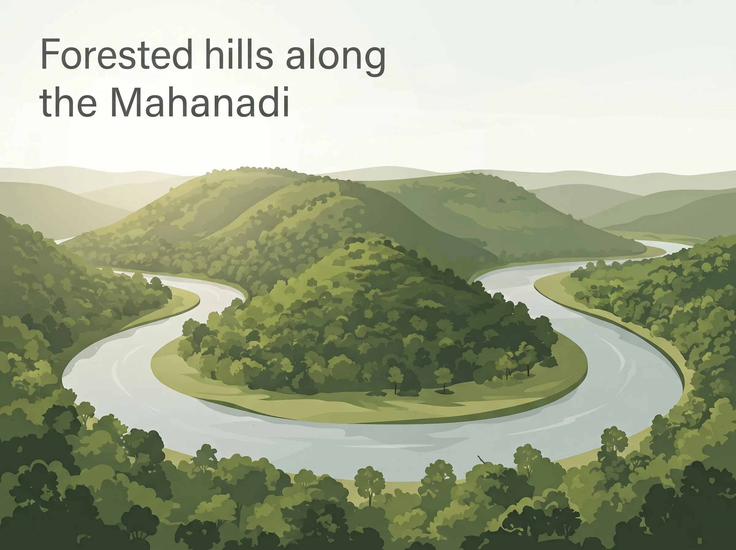
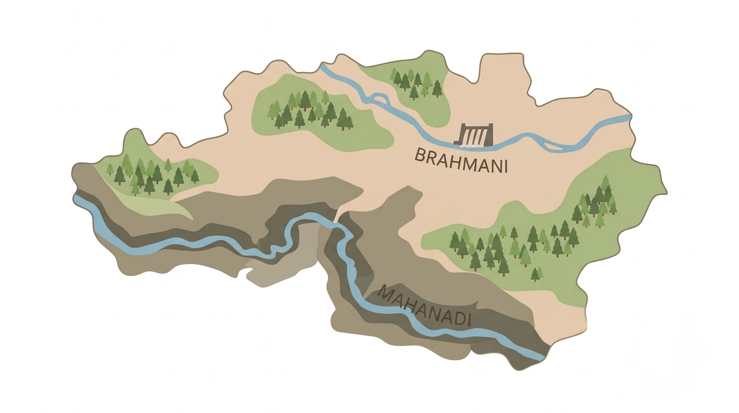
Two rivers matter most. The Mahanadi runs along the southern side, where it cuts the Satkosia gorge. The Brahmani flows past Talcher, and the Rengali dam is built on it. The Satkosia Tiger Reserve covers forested hills here and extends into neighbouring districts.
Summers are very hot. Rainfall is about 1,400 mm a year, most of it between June and September. Uplands have red and lateritic soil, and the river valleys have alluvial soil.
History
According to a story in L.S.S. O’Malley’s 1908 gazetteer, the area was once held by Khond, Savara and Gond groups, with the Khonds the strongest. The last Khond chief, Anu, was removed after a conspiracy and a fight called “gol”. The winners called the land “Anugol”, which became Angul.
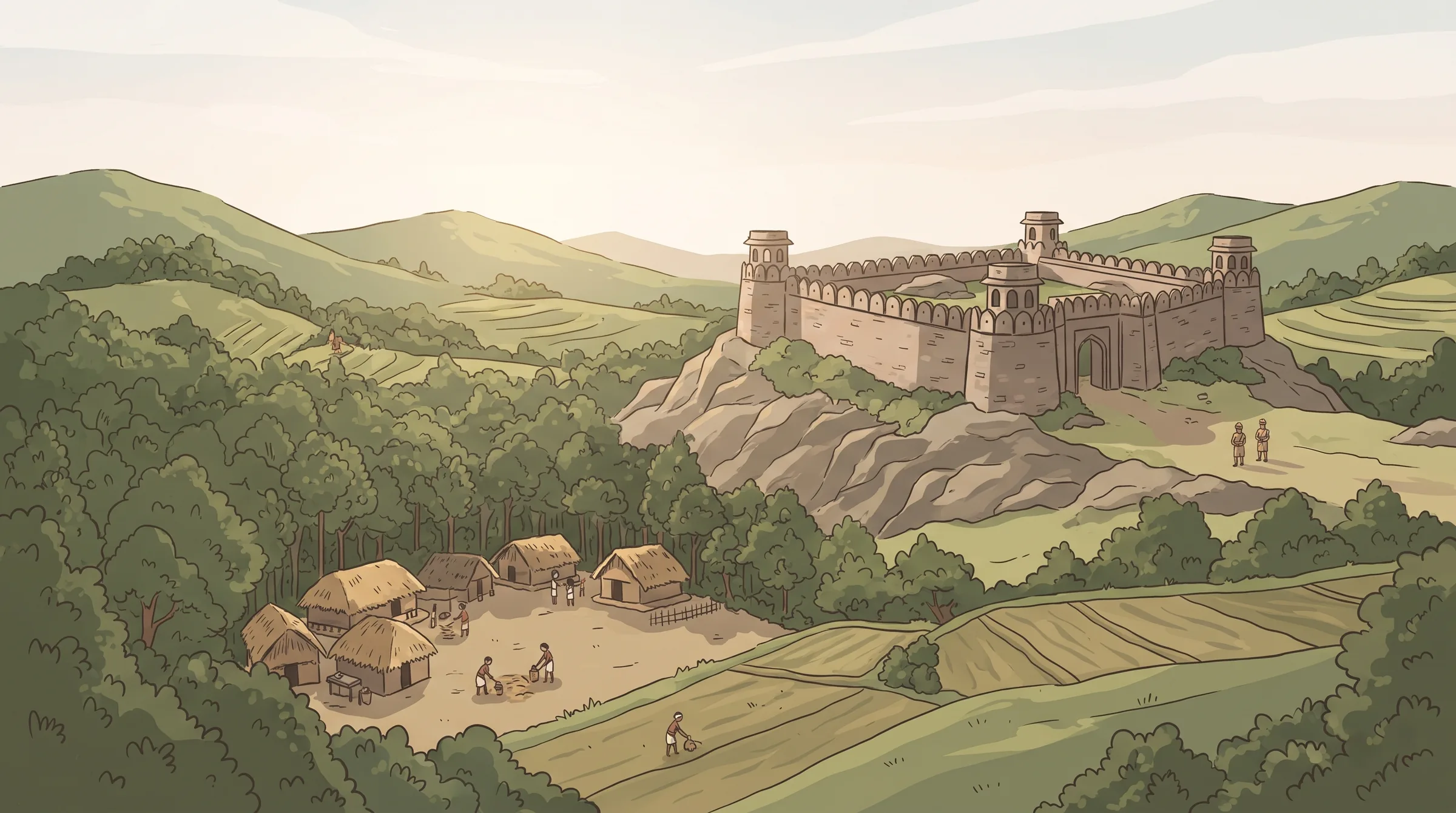
Today’s district was stitched together from parts with different histories. The central Angul area was a small state that signed a treaty with the East India Company around 1803, after Maratha rule faded. In 1847 its raja, Somanath Singh, revolted. He was deposed and exiled, and the Company took over the estate.
In 1891 the Bengal Presidency made Angul a separate district and added the Phulbani area (now Kandhamal) to it. When Odisha became a province in 1936, the district was abolished and merged into Cuttack. After 1949 it became part of Dhenkanal.
Pallahara, Athmallik and Talcher were separate feudatory states, called Garhjats, each with its own raja. They also joined Dhenkanal after 1949. On 1 April 1993 the four areas were taken out of Dhenkanal to form the present Angul district.
Places to know
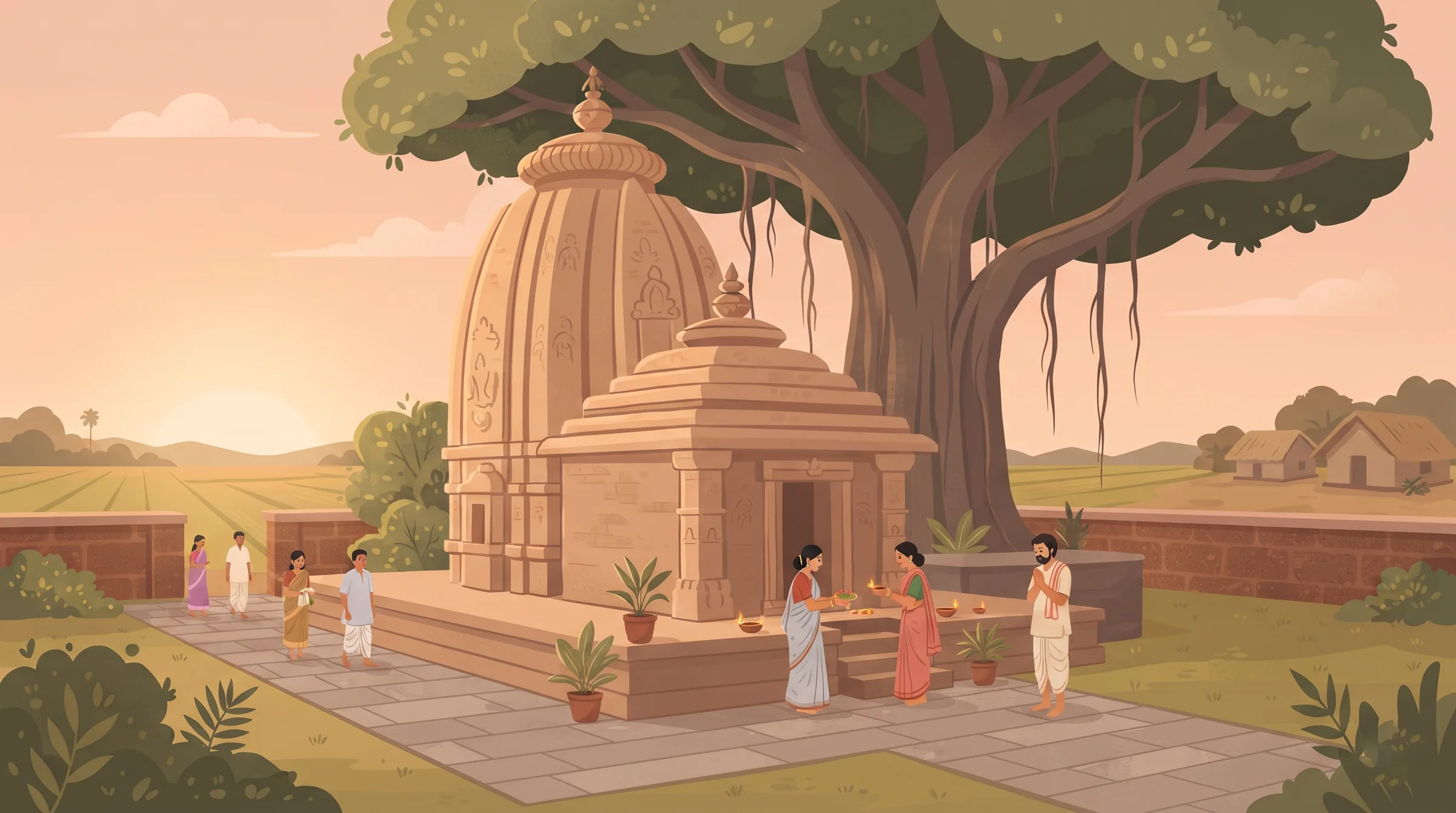
Angul has a mix of forest, river and temple sites. These are the ones that come up most often.

Satkosia gorge and Tiger Reserve: the Mahanadi squeezes through a narrow gorge here. Boating and wildlife viewing are the main draws. Tikarpada, at the gorge, has a gharial and crocodile conservation centre.
Rengali dam: a dam on the Brahmani, used for power and irrigation.
Hingula Pitha, near Talcher: a Shakti shrine of goddess Hingula. The Hingula Jatra is held here.
Saila Srikhetra, Angul: the Jagannath temple of Angul town.
Budhi Thakurani temple, Angul: a well-known local shrine in the town.
Deulajhari, Athmallik: known for its hot spring.
Panchadhara Ghati, Athmallik: a scenic spot in the hills.
Khuludi waterfall: a waterfall that is part of the district’s tourist circuit.
Saranga, near Talcher: a Vishnu image carved in rock in a reclining pose, on the bank of the Brahmani.
Bhimkhand: about 20 km from Angul town, the usual way in to the Satkosia gorge.
Talcher Rajabati: the old palace of the Talcher kings, near the Brahmani.
Culture & people
In the 2011 Census, 95.50% of people in the district gave Odia as their first language. Ho (1.41%) and Hindi (1.30%) came next. Scheduled Tribes are 14.10% of the population and Scheduled Castes 18.81%. Khonds, Savaras and Gonds were the early groups, and Khonds were the largest.
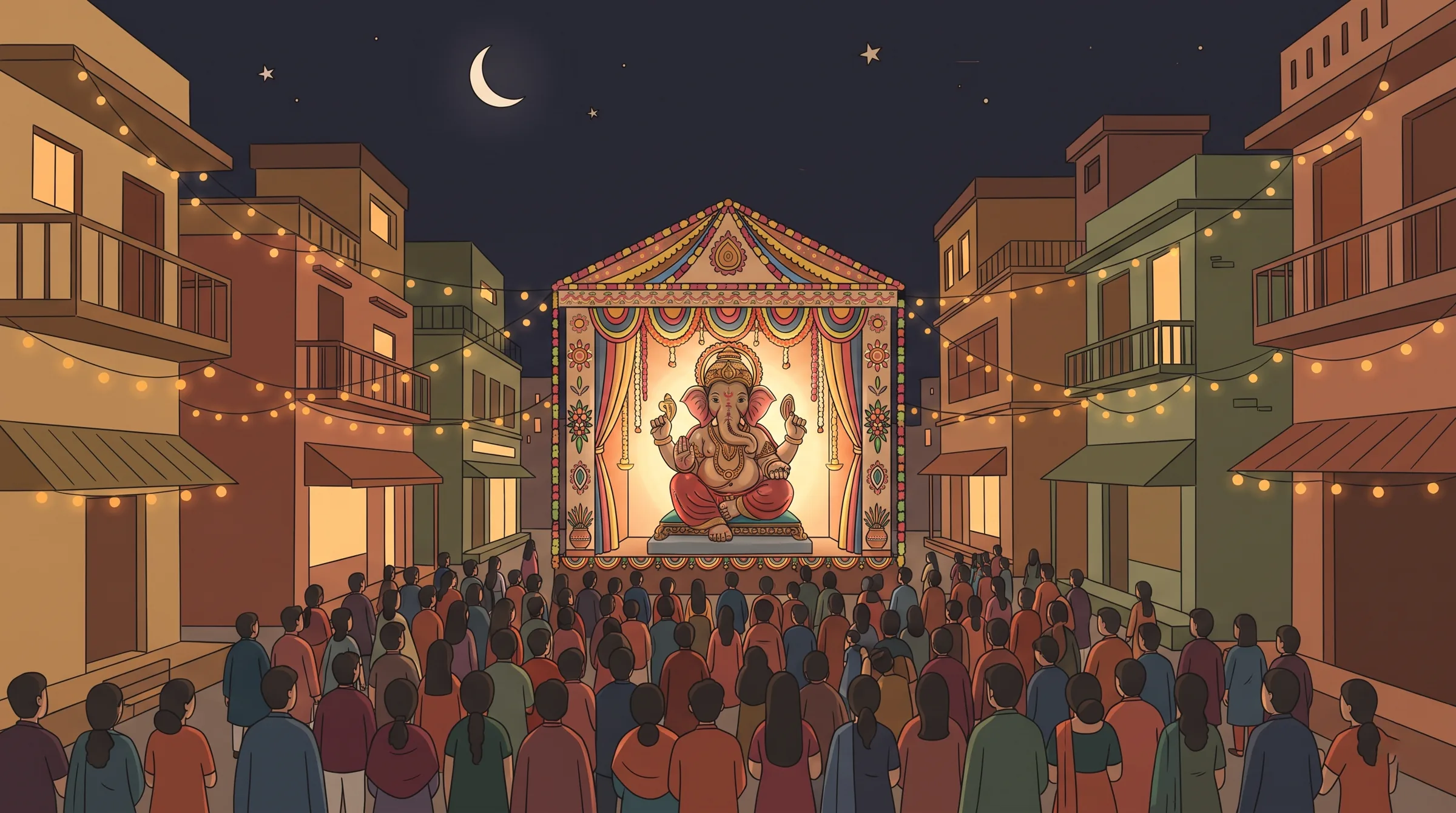
The festival calendar follows the towns. Talcher Ganesh Puja has around 50 pandals in the town, and the Sub-Collector of Talcher is the ex-officio head of the Central Puja Committee. Angul Laxmi Puja draws visitors from across the state. The Hingula Jatra is held at the Hingula temple near Talcher.
Ratha Yatra is observed in the Jagannath temples of Angul, Talcher, Pallahara and Athmallik. People float small decorated boats in rivers and ponds on Boita Bandana. Viswakarma Puja is a big event at industrial sites such as NALCO, the thermal power plants and the coal fields, because so many workers live here.
Economy
Angul is one of Odisha’s biggest industrial districts. Three things drive it: coal, aluminium and power.
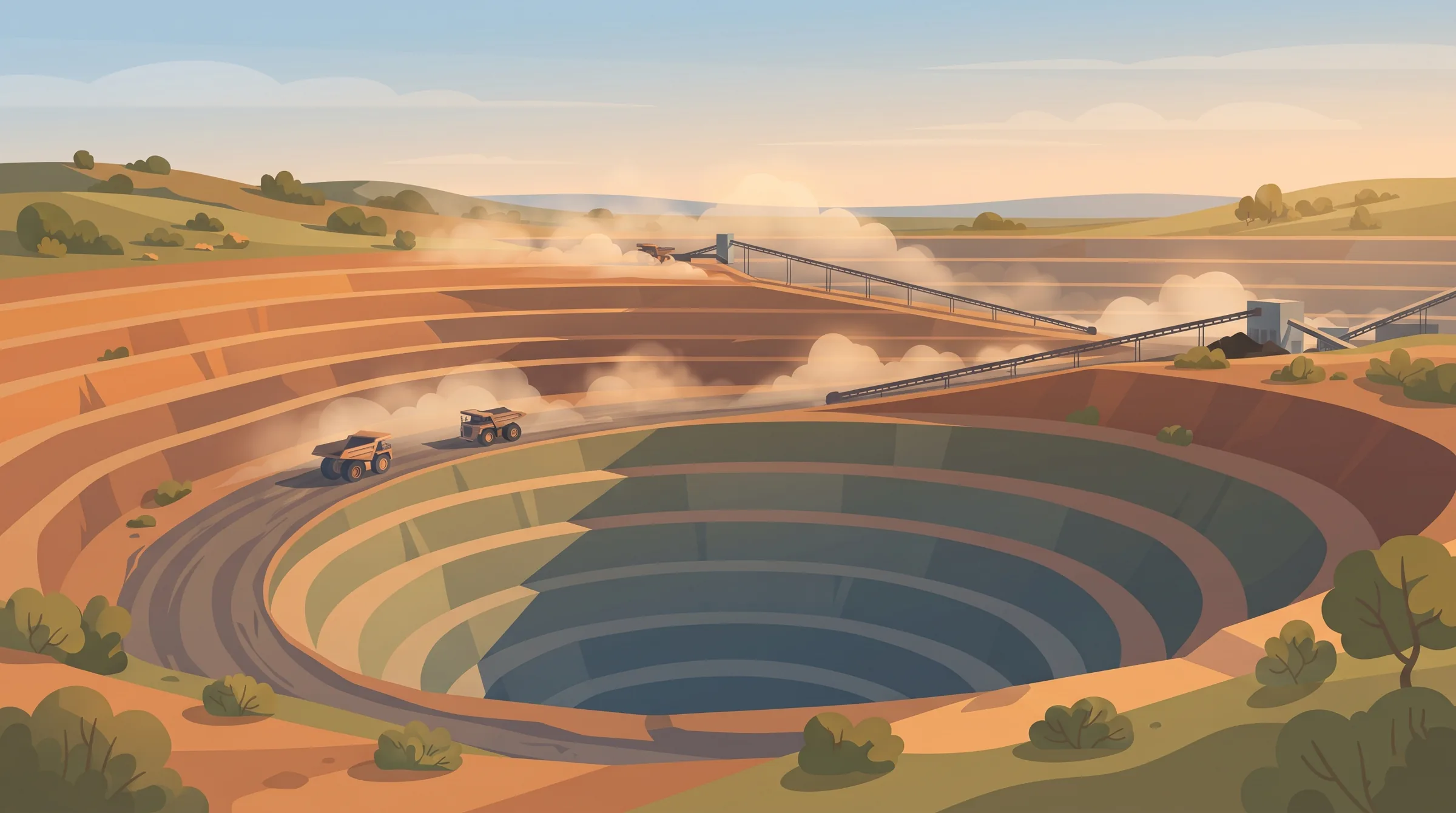
Coal. The Talcher coalfield, worked by Mahanadi Coalfields Limited (MCL), is among the largest in India. In December 2020 the Radhikapur West coal block was auctioned, and Vedanta won it to supply its aluminium smelter at Jharsuguda.
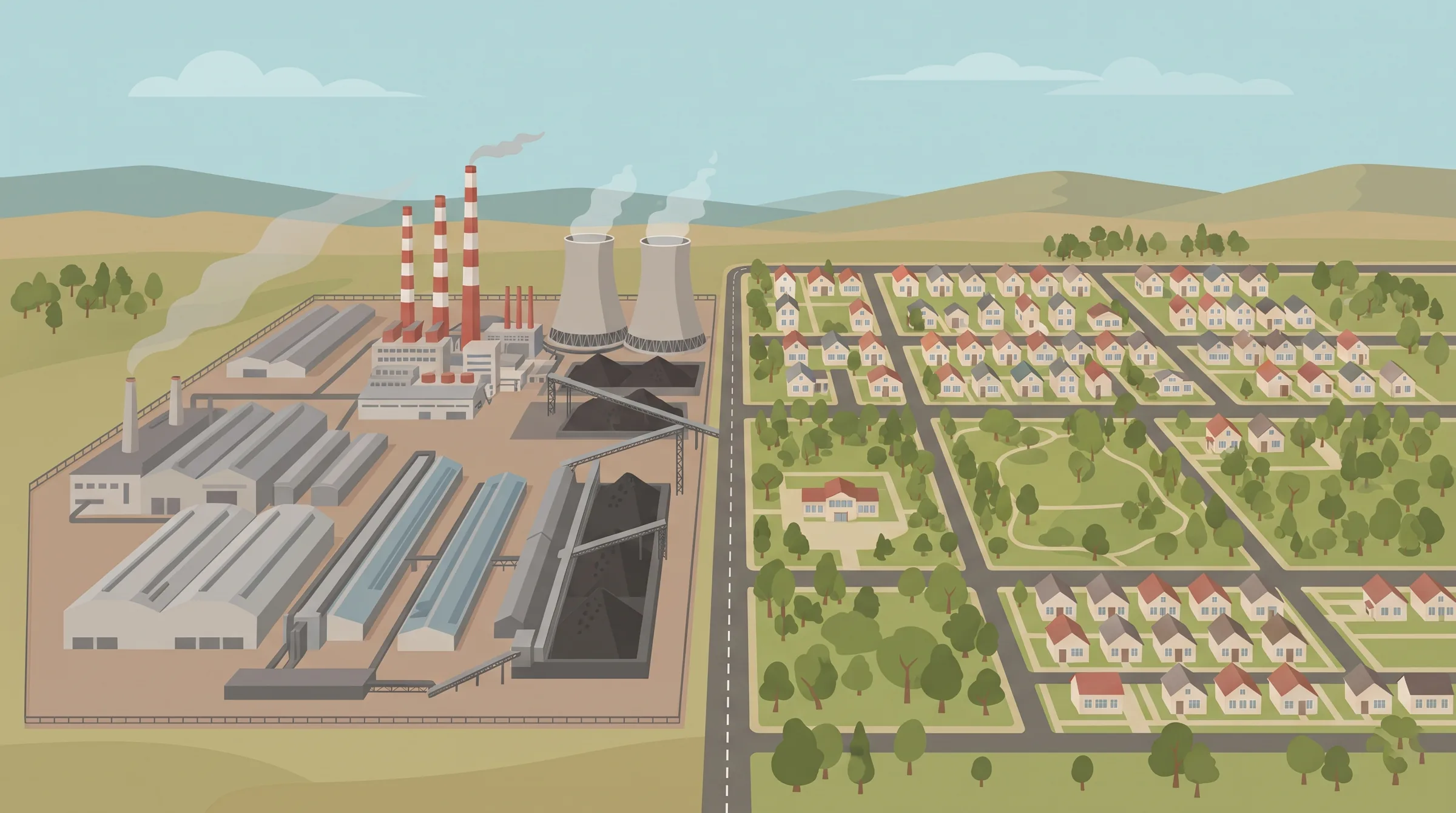
Aluminium. NALCO’s smelter and its township, Nalconagar, are at Angul. This is why Angul is called the “Aluminium City of Odisha”.
Power and heavy industry. NTPC’s Talcher plants, the Talcher Thermal Power Station and the Heavy Water Plant at Talcher run on the local coal. Steel and other industries are also in the district.
Farming is the other side. Most cropped land depends on rain, so the Rengali project and other irrigation works matter. Development is uneven: Angul and Talcher blocks are far ahead of Pallahara and Athmallik. Angul and Talcher Road stations carry both passengers and freight.
Exam favourites
Angul district was formed on 1 April 1993 from Dhenkanal.
Angul is the 11th largest district of Odisha by area.
It has 4 sub-divisions (Angul, Talcher, Pallahara, Athmallik) and 8 blocks.
The 8 blocks: Angul, Banarpal, Chhendipada, Athmallik, Kishorenagar, Pallahara, Talcher, Kaniha.
Nine districts touch Angul: Dhenkanal, Cuttack, Deogarh, Kendujhar, Sundargarh, Sambalpur, Sonepur, Boudh, Nayagarh.
The Satkosia gorge is on the Mahanadi, not the Brahmani.
Rengali dam is on the Brahmani.
NALCO is at Angul. Angul is called the “Aluminium City of Odisha”.
Talcher is the coal town (Talcher coalfield, MCL).
Hingula Pitha and the Hingula Jatra are near Talcher.
Five assembly seats: Pallahara, Talcher, Angul, Chhendipada (SC reserved), Athmallik.
Vehicle codes: OD-19 for Angul, OD-35 for Talcher.
Angul became a separate district in 1891 under the Bengal Presidency.
Practice questions
Test yourself. Pick an answer to see if it's right.
Was this helpful?