
Key facts
- Headquarters
- Balasore
- Revenue division
- Central
- Formed
- 1828 (Bhadrak separated in 1993)
- Area
- 3,634 km²
- Population (2011)
- 23,20,529
- Literacy
- 80.66%
- Sex ratio
- 957 per 1000 males
- Sub-divisions
- 2
- Blocks
- 12
- Tehsils
- 8
Neighbouring districts
Map: DataMeet, Census 2011 districts (CC BY 2.5 IN)
Geography
Baleswar is the northernmost coastal district of Odisha. On its north are West Bengal’s Purba Medinipur, Paschim Medinipur and Jhargram districts. The Bay of Bengal is on the east, Bhadrak on the south, and Mayurbhanj and Kendujhar on the west. The coastline is about 137 km long.
Most of the district is flat coastal plain. Small hill ranges appear only in the southwest, around Nilagiri. The Subarnarekha is the main river and it reaches the Bay of Bengal inside this district. The Budhabalanga, Jalaka and Sono also flow through it. In heavy monsoon years the Subarnarekha floods villages in Baliapal, Bhograi and Jaleswar blocks.
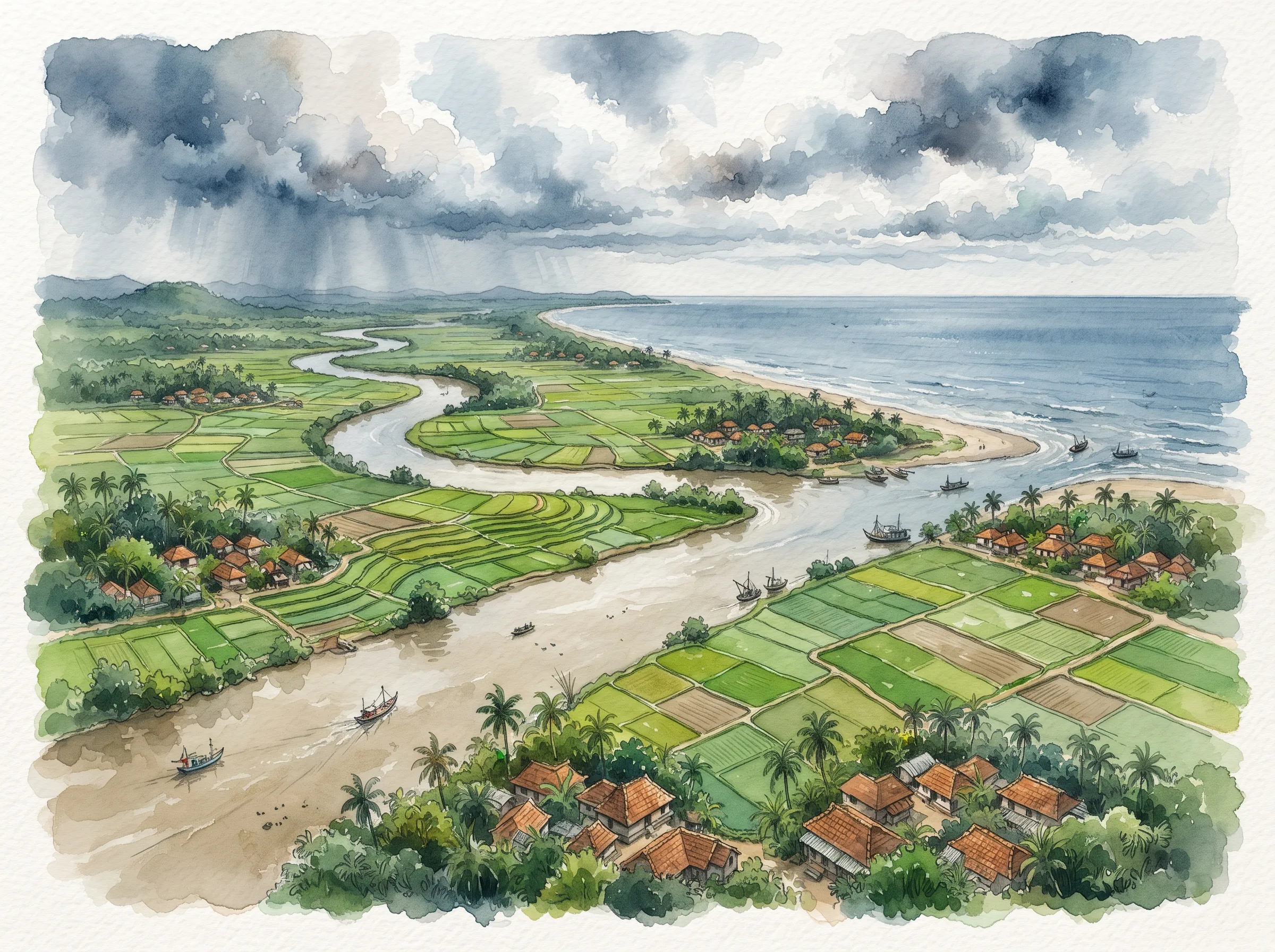
The climate is hot and humid. Most rain falls between June and September, and cyclones from the Bay of Bengal hit the coast. The alluvial soil of the plain suits paddy. Forest covers about 441 km², mostly in the southwest.
History
The name comes from Baneswar, a form of Lord Shiva and the old presiding deity of the town. The Baneswar temple still stands in Purana Baleswar (old Balasore).
The area was part of ancient Kalinga. After Mukunda Deva, the last independent Hindu king of Odisha, fell in 1568, it passed to Afghan and then Mughal rulers, and later to the Marathas of Nagpur. The English East India Company opened a trading factory at Balasore in 1633, one of its first in eastern India, and the river mouths drew other European traders too. The Marathas gave Odisha to the British under the Treaty of Deogaon in 1803.
Balasore became a separate district of the Bengal Presidency in October 1828. In 1936 it joined the new province of Odisha, and the princely state of Nilagiri merged into it in January 1948. Bhadrak sub-division was made a separate district on 3 April 1993.
In 2026 the Odisha government corrected the district's English spelling from Balasore to Baleshwar, to match the Odia name ବାଲେଶ୍ୱର. The list of corrected names is in the Revenue & Disaster Management Department notice.
Two freedom-movement events happened here. In September 1915 the revolutionary Bagha Jatin (Jatindranath Mukherjee) and four companions fought British police on the bank of the Buribalang river; he was wounded and died in Balasore. In April 1930 the Inchudi salt satyagraha took place on this coast. Women led by Rama Devi and Malati Choudhury joined in large numbers, and it is often called the second Dandi.
Places to know
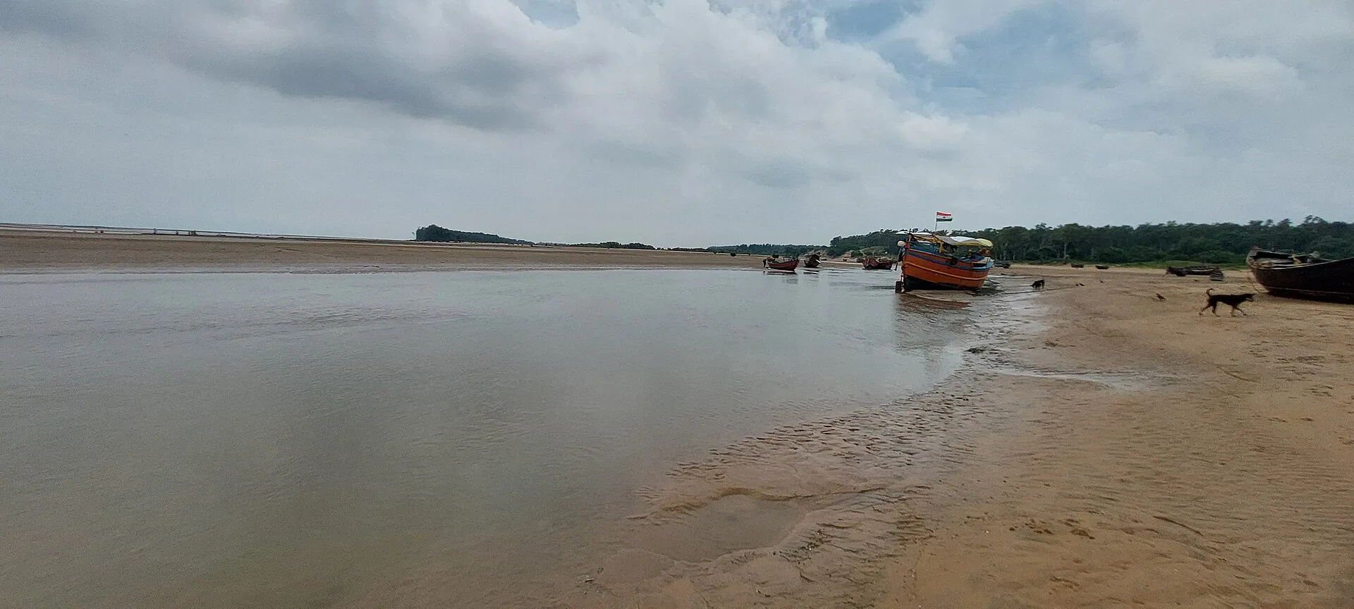
Chandipur beach: the sea goes back several kilometres at low tide and comes in again, so you can walk far out on the seabed. DRDO's Integrated Test Range is next to it.
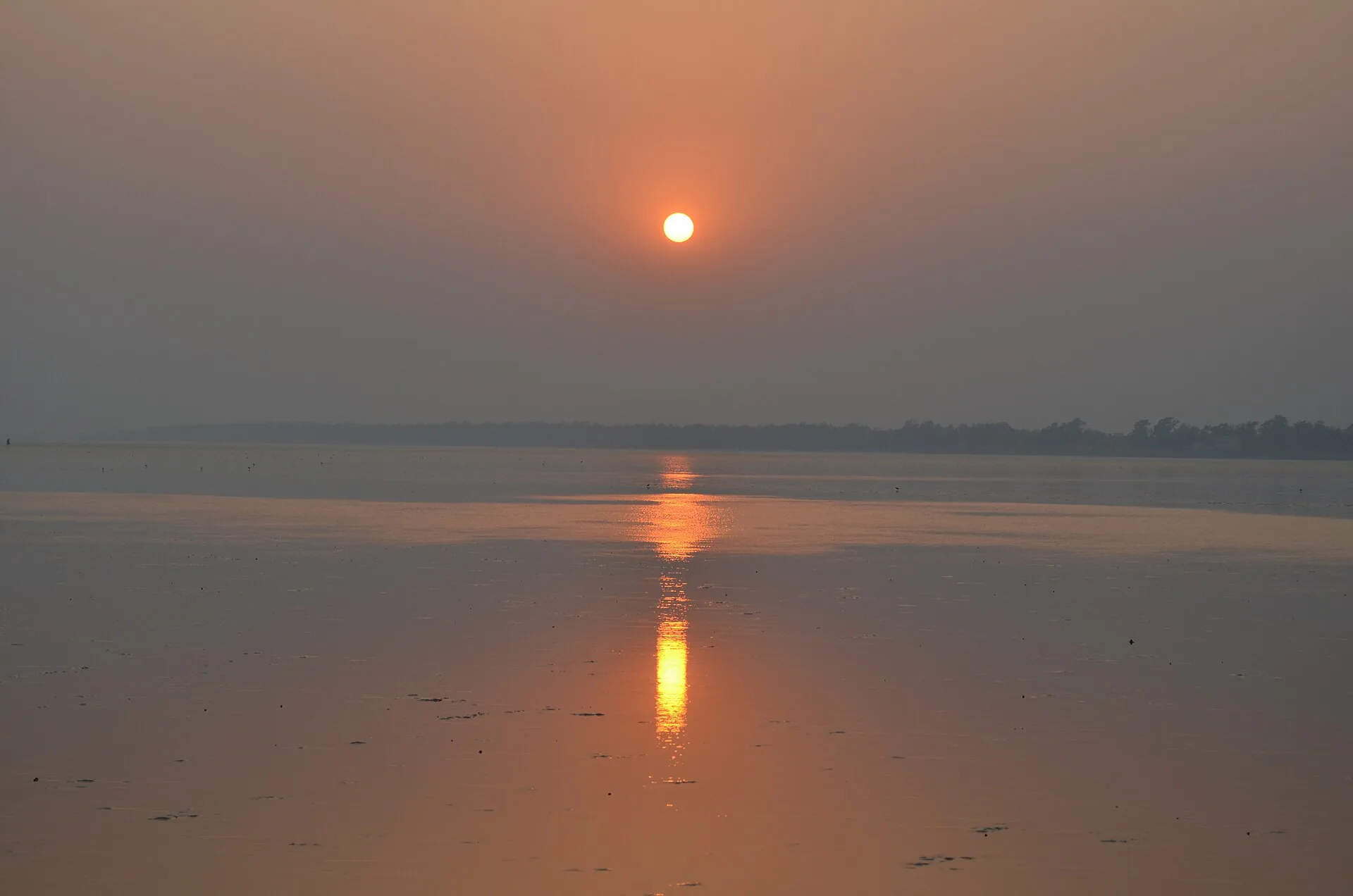
Khirachora Gopinatha temple, Remuna: about 7 km from Balasore town. The name means "Gopinatha who stole kheer", from the story of the deity hiding a pot of kheer for the saint Madhavendra Puri. The kheer offered here is famous.
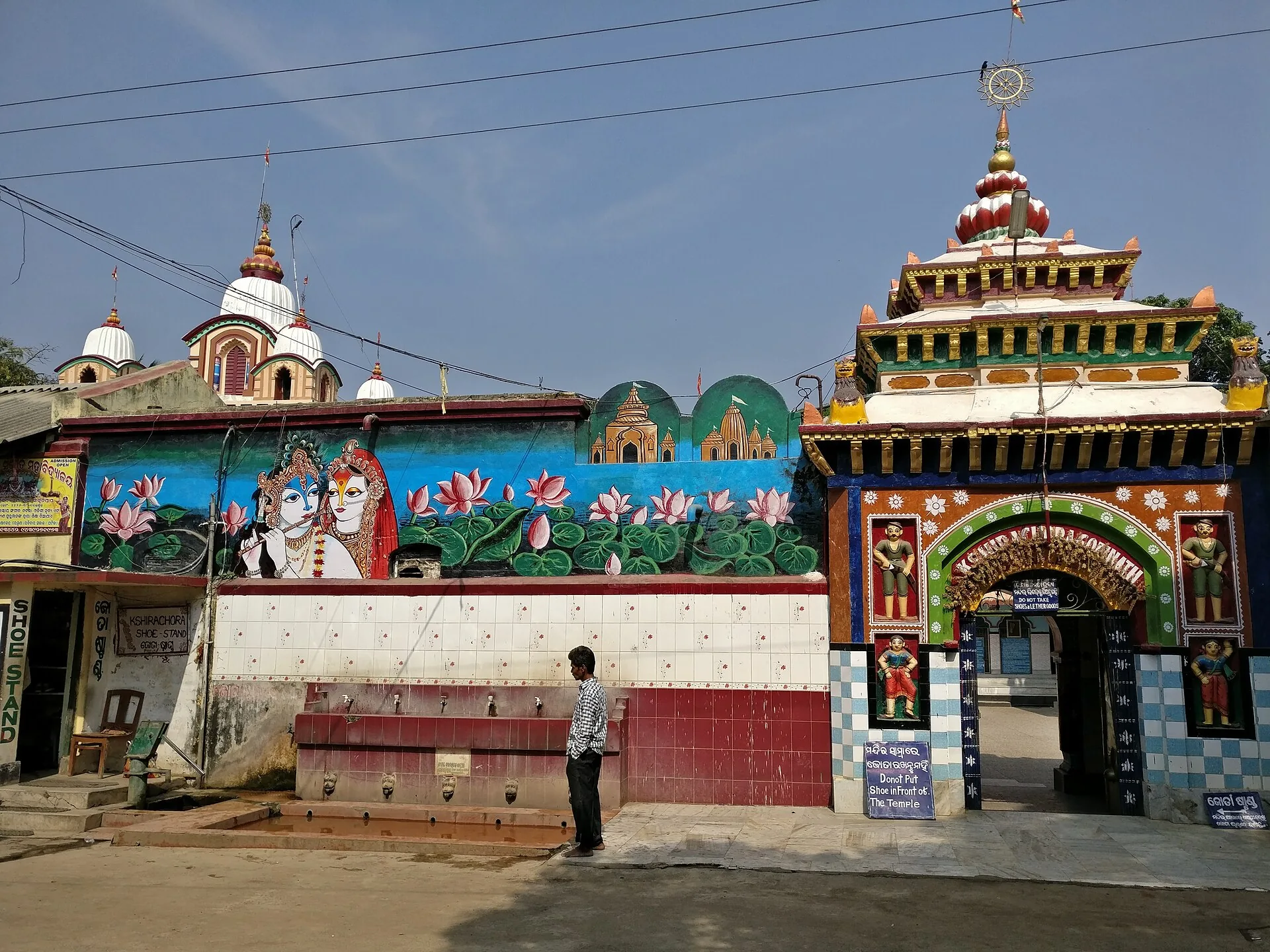
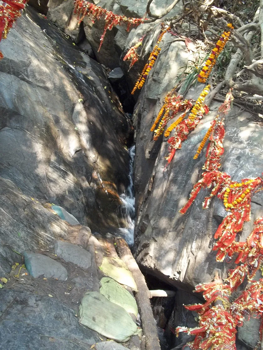
Panchalingeswar: a Shiva shrine on a hill in the Nilagiri range, where a stream flows over five natural lingas.
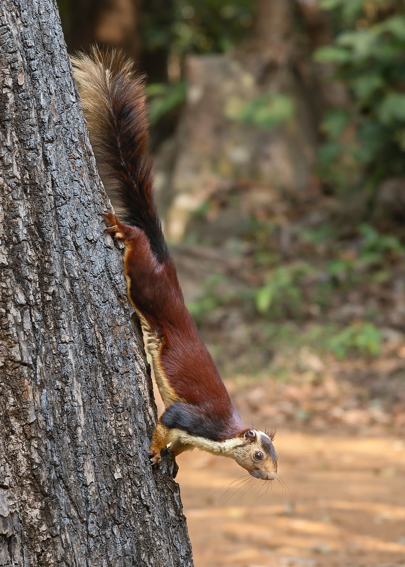
Kuldiha Wildlife Sanctuary: a forested sanctuary near Nilagiri, home to elephants, about 30 km from Panchalingeswar.
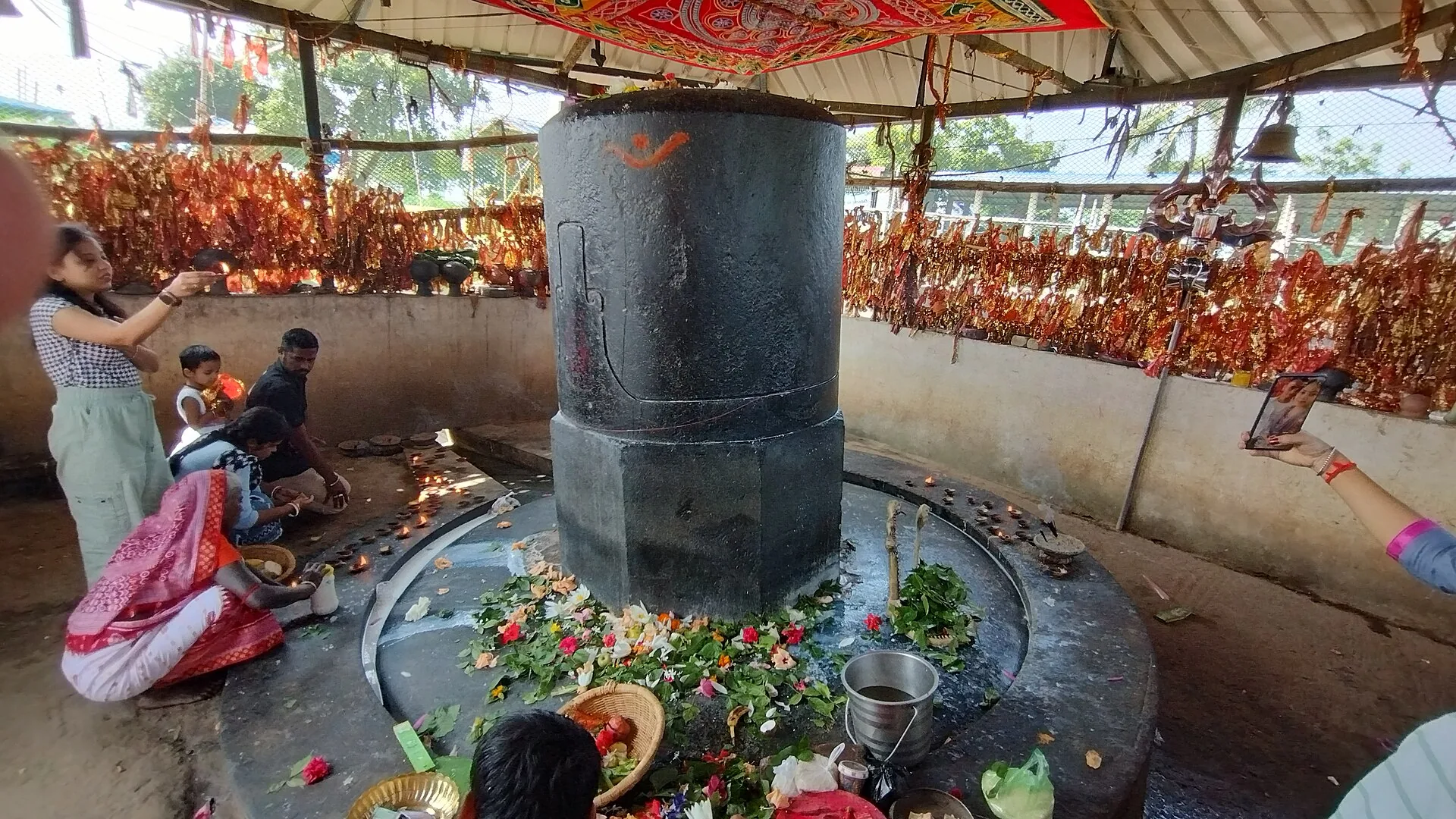
Bhusandeswar temple, Bhograi: known for a very large Shiva linga, only half of which is visible.
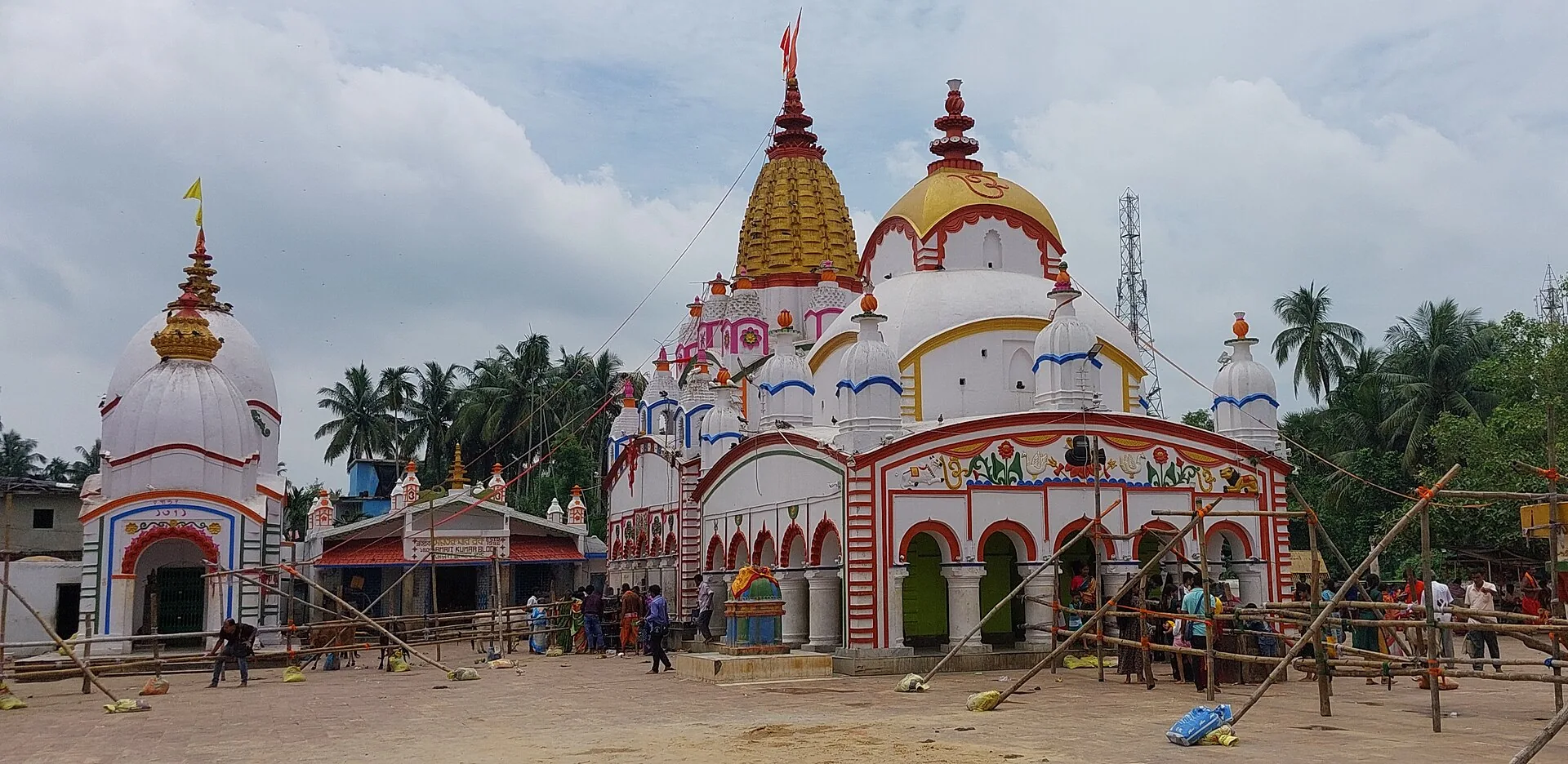
Chandaneswar: a Shiva temple near the West Bengal border that draws devotees from both states during the Pana Sankranti festival.
Talasari beach: a quiet beach near the Bengal border where the Subarnarekha meets the sea.
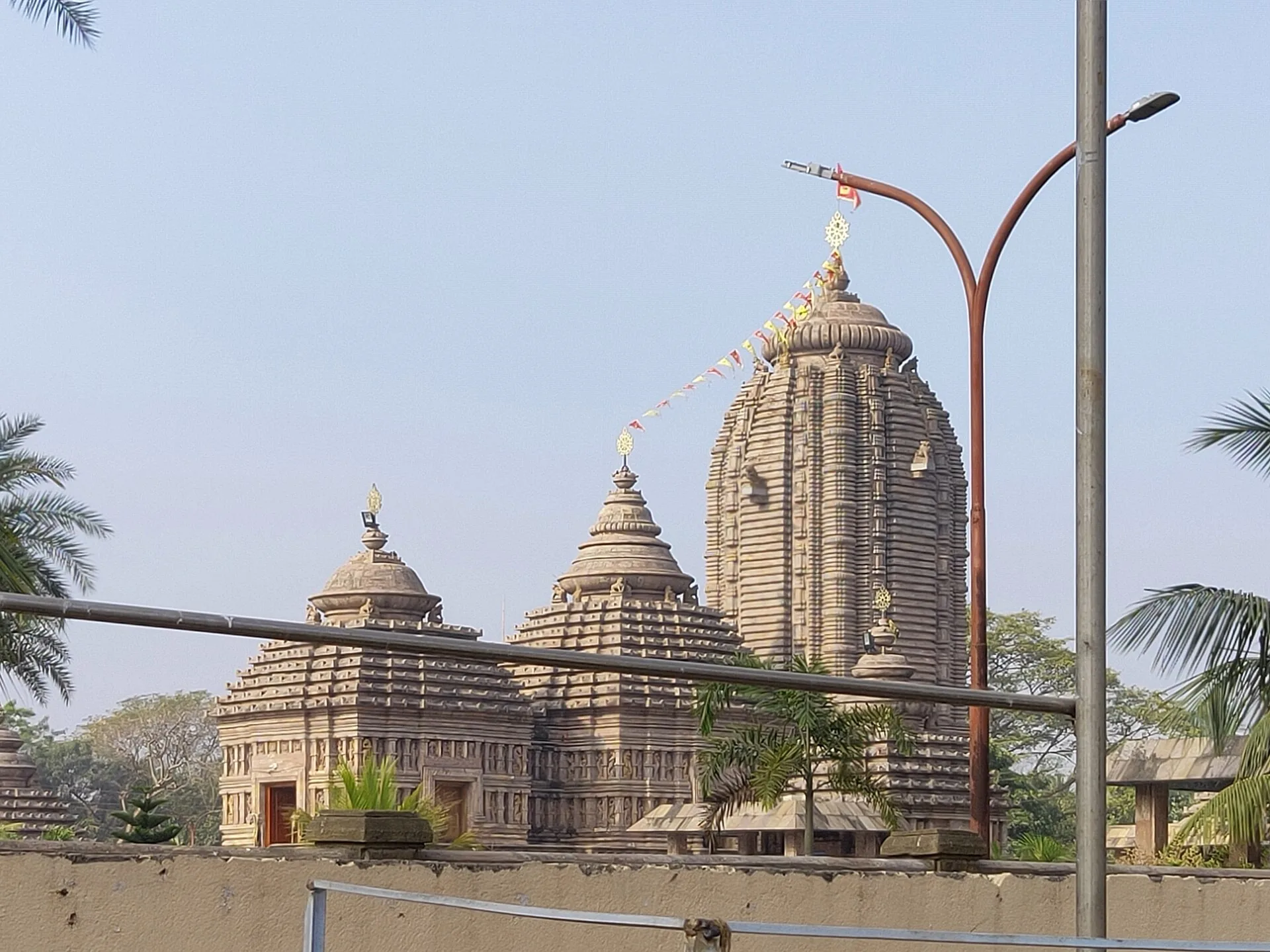
Emami Jagannath temple: a large modern temple in Balasore town built in the Kalinga style.
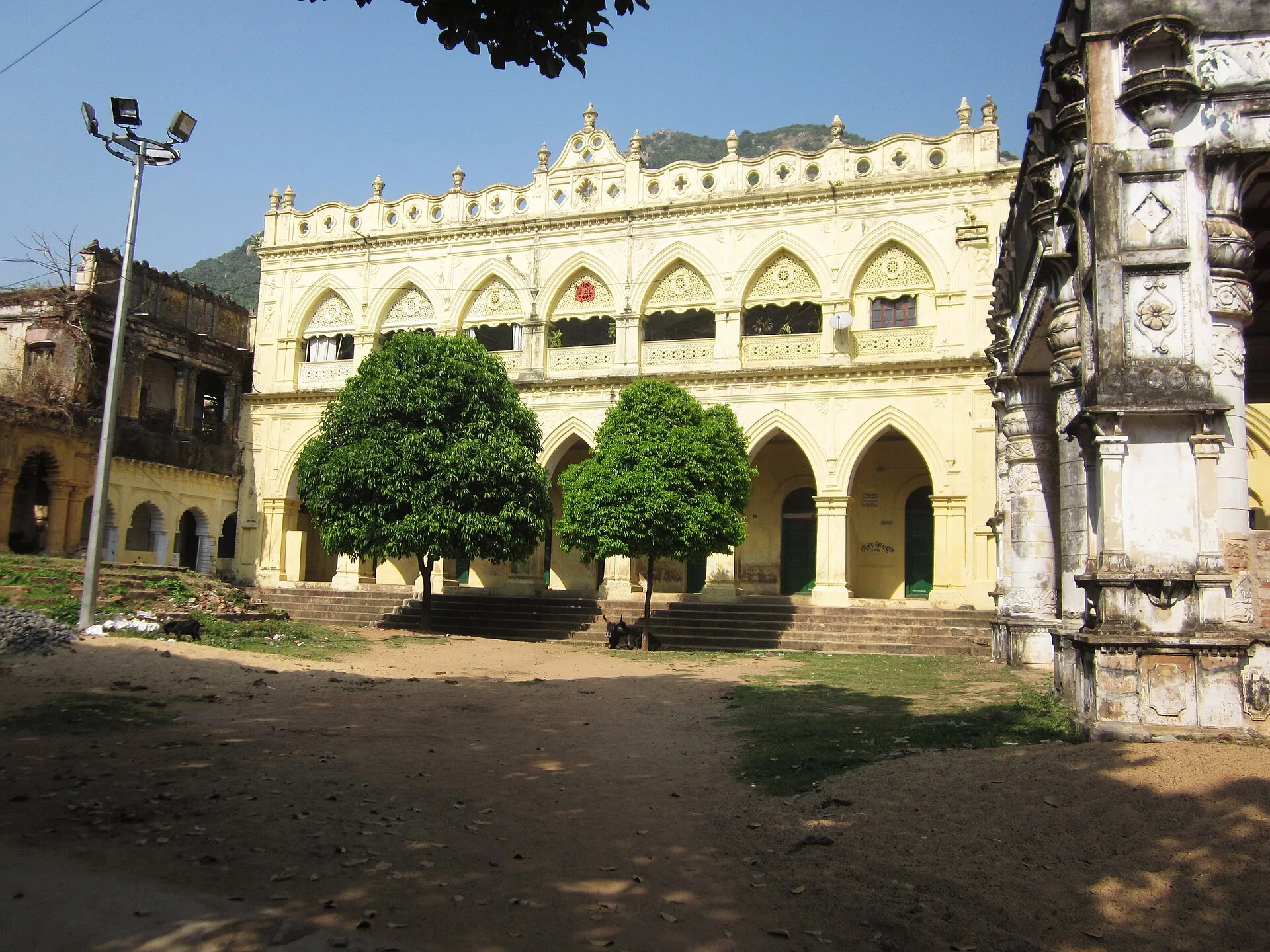
Nilagiri: the old capital of the princely state of Nilagiri, with its palace.
Culture & people
Most people speak Odia (about 88% in Census 2011), in the local form called Baleswari. Santali, Urdu and Bengali are also spoken; Bengali is more common near the West Bengal border. About 12% of the people belong to Scheduled Tribes, mainly Santals, and about 21% to Scheduled Castes.
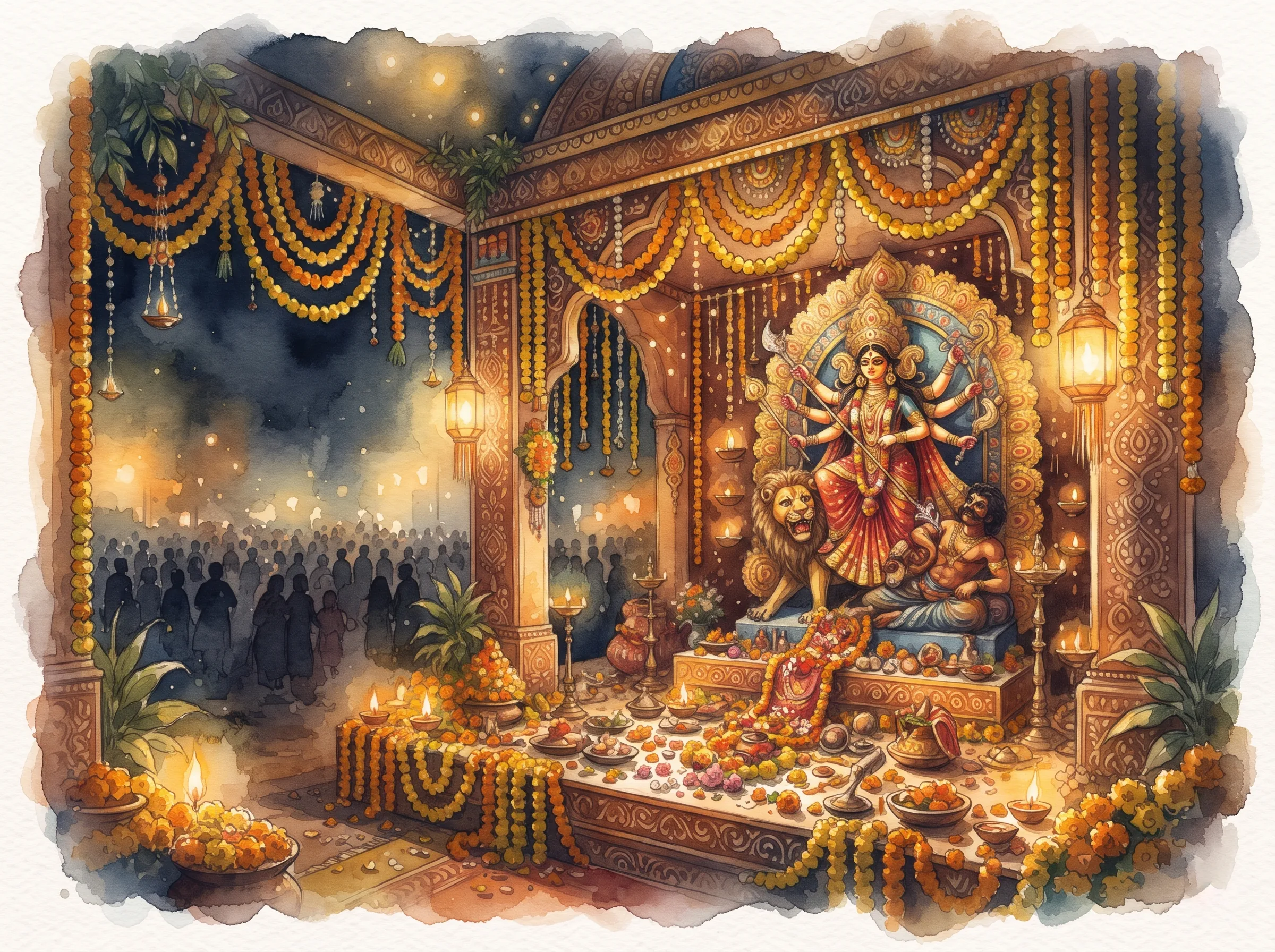
Durga Puja is the biggest festival in Balasore town, and the town is known for its akhada (martial arts) shows during the puja. Raja, Makar Sankranti kite flying, Kali Puja and Maha Shivaratri at the Shiva temples are also widely celebrated, and Chandaneswar's fair at Pana Sankranti draws devotees from Bengal.
The best-known person from the district is Fakir Mohan Senapati (1843–1918), born at Mallikashpur near Balasore, the father of modern Odia fiction and author of Chha Mana Atha Guntha. Fakir Mohan University and Fakir Mohan Medical College in Balasore are named after him.
Economy
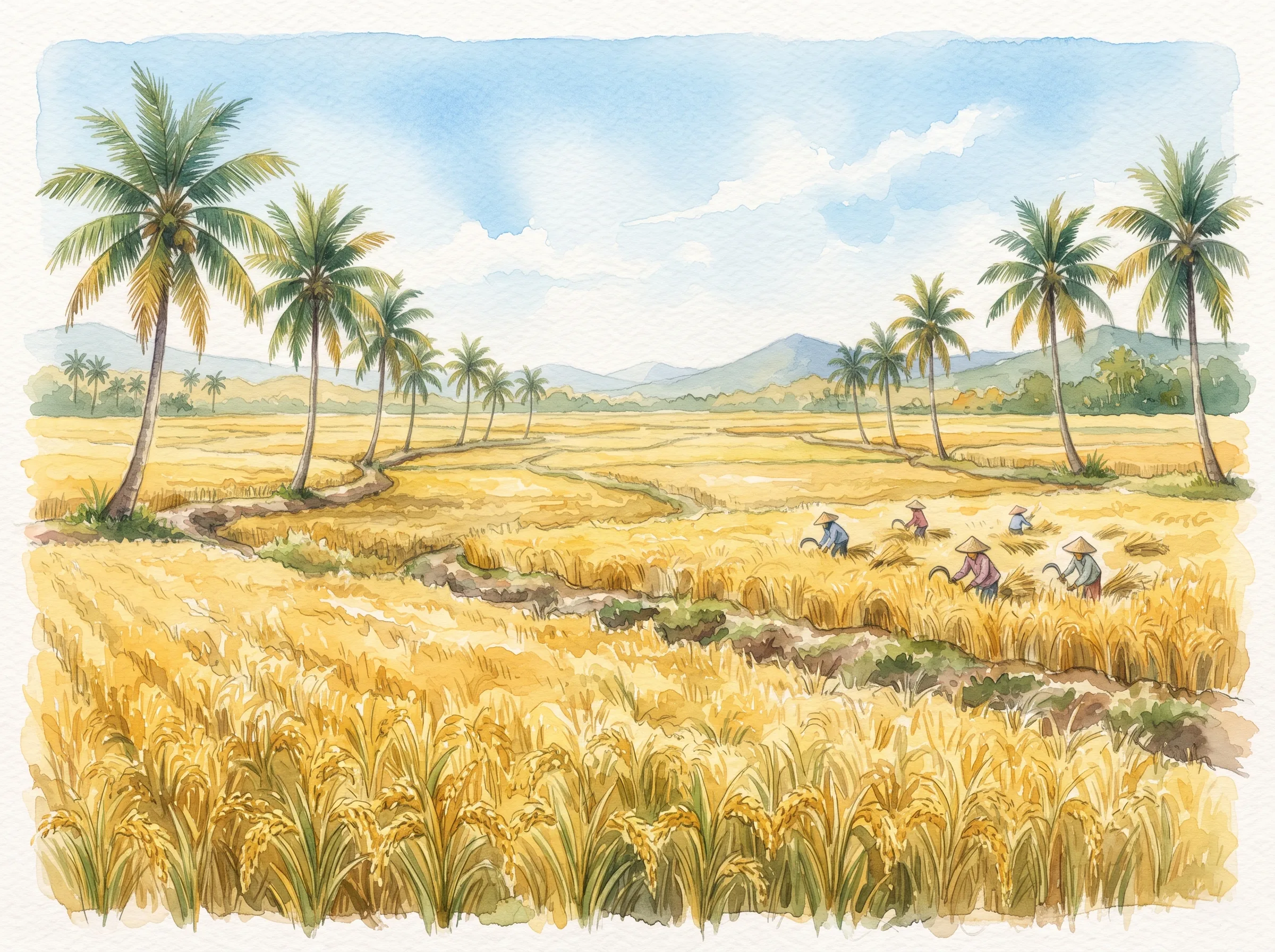
Farming is the main work. The flat alluvial plain grows mostly paddy, with pulses, groundnut and vegetables in the dry season. The long coast supports marine fishing, and Balaramgadi near Chandipur is a fishing harbour.
Balasore is called the "missile city". The Integrated Test Range (ITR) of DRDO at Chandipur tests missiles such as Agni, Nag and BrahMos, and the Proof and Experimental Establishment (PXE) is also at Chandipur. Many long-range tests are launched from Dr. APJ Abdul Kalam Island, formerly Wheeler Island, which lies offshore of Bhitarkanika and is reached by boat from Dhamra port.
Industries include Balasore Alloys (ferro chrome), Emami Paper Mills, Birla Tyres and plastic units, most of them around Balasore town and Balgopalpur. In earlier centuries the river mouths of the district, such as Pipili on the Subarnarekha, were busy sea ports.
National Highway 16 (Kolkata to Chennai) and the Howrah–Chennai railway line pass through Balasore, which puts the town about 215 km from Bhubaneswar and 240 km from Kolkata.
Exam favourites
Balasore became a district of the Bengal Presidency in October 1828.
Bhadrak was separated from it on 3 April 1993.
It is the northernmost coastal district of Odisha and borders West Bengal.
The Subarnarekha meets the Bay of Bengal in this district.
The English East India Company opened a factory at Balasore in 1633.
DRDO's Integrated Test Range is at Chandipur, so Balasore is called the missile city.
The official English spelling is now Baleshwar (Odisha government notice, 2026).
Wheeler Island was renamed Dr. APJ Abdul Kalam Island on 4 September 2015 (official island record).
Chandipur beach is known for the sea going back several kilometres at low tide.
Khirachora Gopinatha temple is at Remuna.
The Inchudi salt satyagraha (April 1930) is often called the second Dandi.
Bagha Jatin fought the British on the Buribalang river bank in 1915 and died in Balasore.
Fakir Mohan Senapati was born at Mallikashpur, Balasore, in 1843.
Panchalingeswar has five natural Shiva lingas under a stream in the Nilagiri hills.
The district has 2 sub-divisions (Balasore, Nilagiri) and 12 blocks.
Practice questions
Test yourself. Pick an answer to see if it's right.
Was this helpful?